Mapping Solutions publishes the most accurate, up-to-date plat books, maps, and GIS products available - built from intensive in-house research, data collection, and cartographic production. Whether you need a printed plat book for your county, a custom map for a specific project, or ongoing GIS program support, we have a path for you.
Need a printed map for your county? Start with Plat Books or Wall Maps.
Need something built to spec? See Custom Maps.
Need an ongoing GIS program or parcel data? See GIS Solutions.
Not sure where to start? Call us at 816-903-3500 or request a free quote - we’ll point you to the right product.
Printed Maps & Plat Books
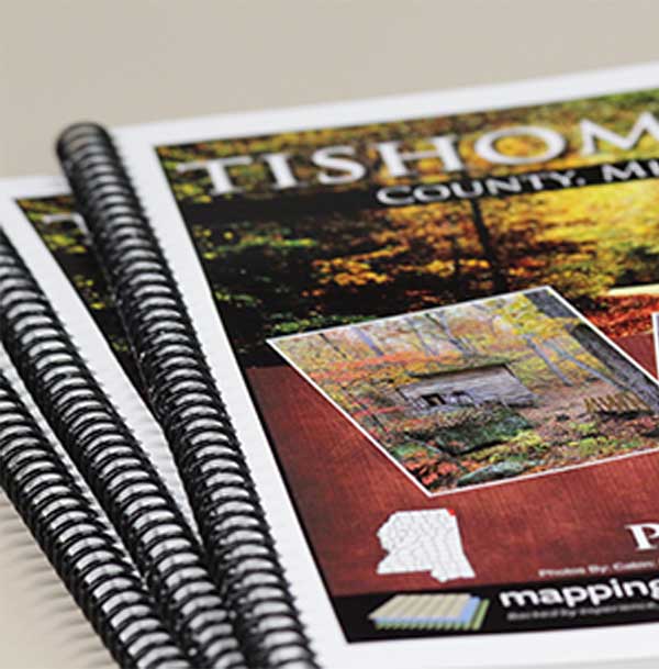
Plat Books
Our core product - detailed landowner maps by township, identifying property boundaries, roadways, and other features unique to each county. Updated annually with the most current parcel and ownership data available.
Shop Plat Books by County →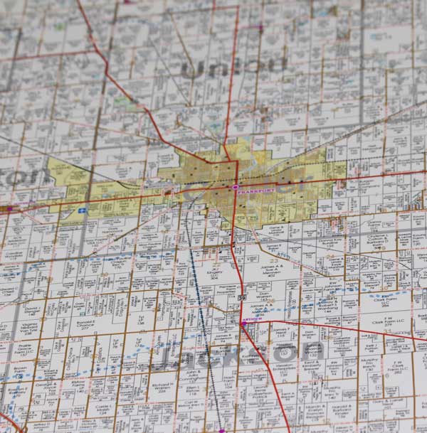
Wall Maps
Large-format maps showing landowners, roadways, and boundaries for an entire county or custom-defined area - built for offices, field use, and presentations where the bigger picture matters.
Shop Wall Maps →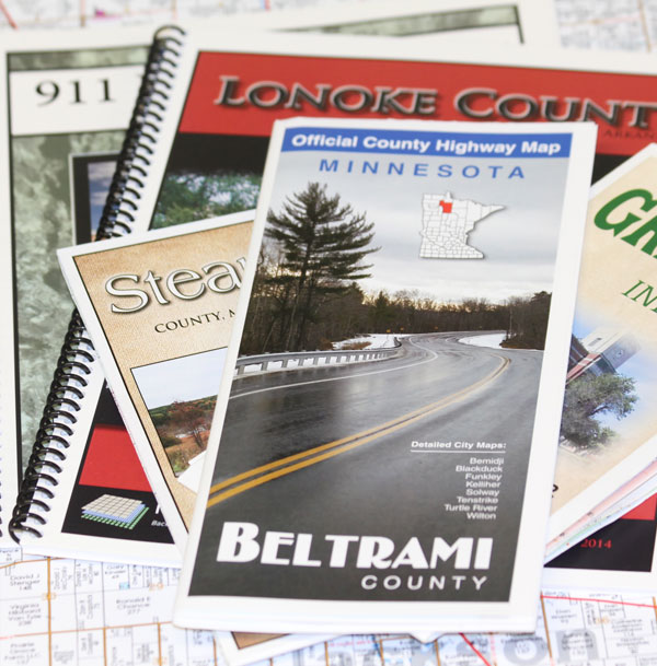
911 Maps & Books
Detailed Federal, State, County, and private roadway maps built for emergency response and addressing accuracy - available in bound book or wall/folded format.
View 911 Maps & Books →Digital, Custom & GIS Services
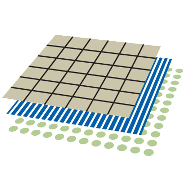
Digital Products
Electronic versions of our plat books and maps for phone, tablet, or desktop use. GIS parcel files are professional-grade, layered data ready to drop into your existing GIS platform.
View Digital Products →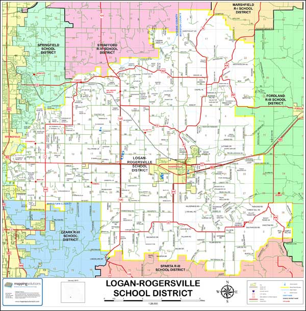
Custom Maps
Aerial, topographical, district, boundary, or hunting-lodge maps - built to your exact specifications. Tell us what you need; our cartographers build it.
Get a Free Quote →
GIS Solutions
Starting a new GIS program or looking to get more out of an existing one? As a full-service GIS provider specializing in custom platform development, we deliver ongoing support for any platform - no third-party outsourcing, ever.
Talk to a GIS Specialist →