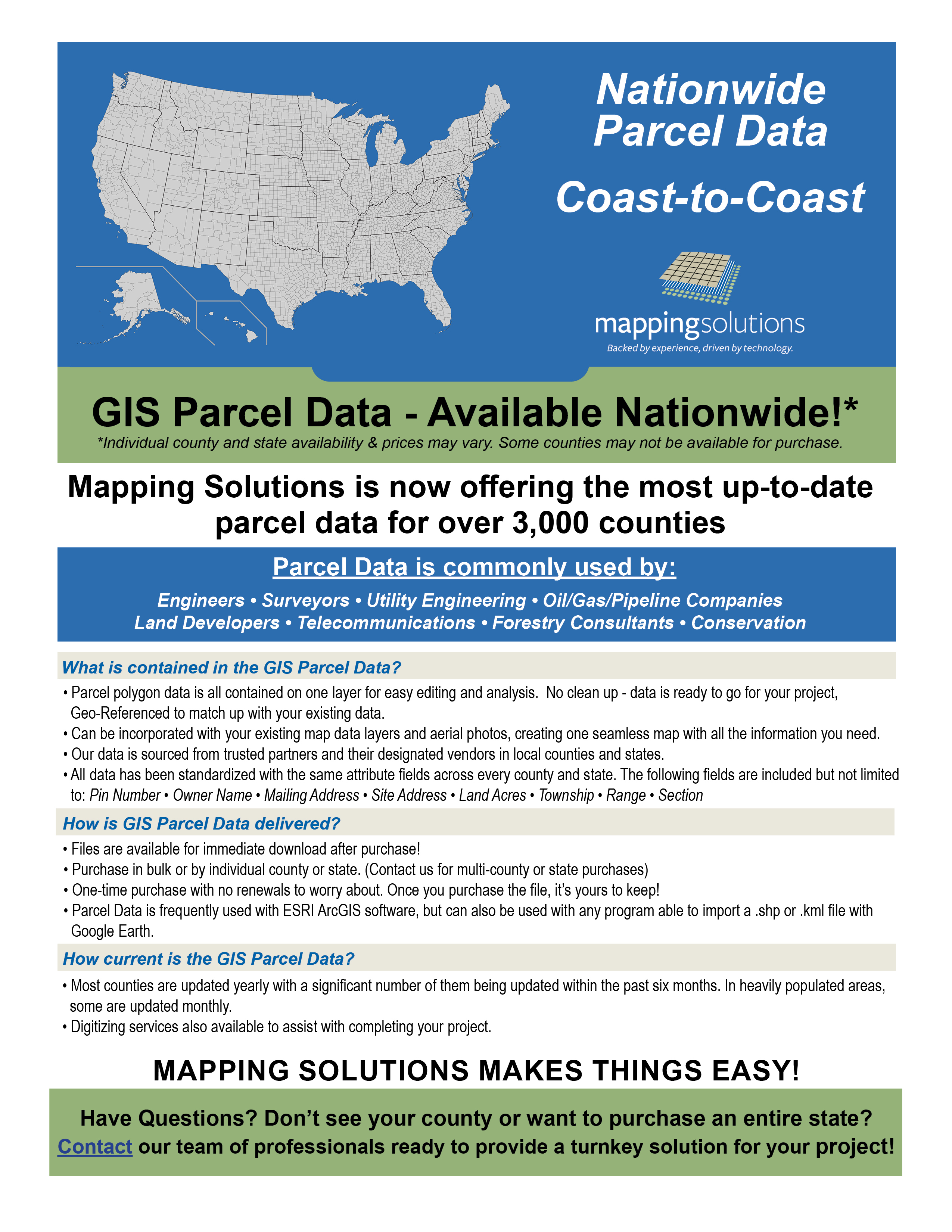
Mapping Solutions provides accurate, regularly updated GIS parcel data for counties across the United States - landowner boundaries, ownership information, and supporting layers, delivered in the format your GIS platform needs.
What’s Included
- Parcel boundary and ownership layers, sourced and verified by our in-house cartography team
- Available in Shapefile, File Geodatabase, GeoJSON, and other common GIS formats
- Compatible with Esri ArcGIS, QGIS, and other major GIS platforms
- Coverage across all 50 states, some counties may or may not be available
Who It’s For
County GIS departments, conservation districts, utility and ag-tech companies, real estate and title professionals, and any organization that needs reliable nationwide parcel coverage without managing 50 different state data sources.
Don’t see your county yet? We’re adding coverage regularly. Check current availability by state → or request a quote for your specific area →