Custom Maps. We make it easy.
Our team at Mapping Solutions is prepared for just about any mapping project, large or small. If you require mapping expertise to help you develop and produce a custom map or mapping project, we would love to help.
Whether you need one map or one thousand maps, our experienced cartographers are ready to build to your specifications. Our maps can feature roads, landowners, topographic, aerial or any other feature that you require for your special project. Many of our custom maps can use our existing plat map data as a base map, with other feature layers added to it.
Need a digital version for your smart phone or tablet? No problem, all maps we create can be purchased in a georeferenced, digital version.
Your map will be completed with the utmost accuracy, quality and in a timely manner.
To learn more about how Mapping Solutions can economically and efficiently design a map for you, please CONTACT US today.
Here are some examples, but we are ready to map new territory!
Click here to order or request more information
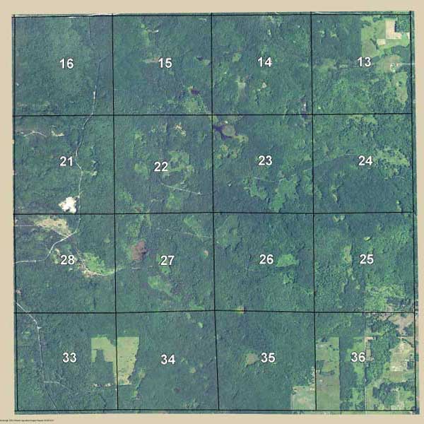
Aerial Map
Let Mapping Solutions create an aerial view wall map of your property, highlighted and centered on the map. Size & paper options available.
Choose Options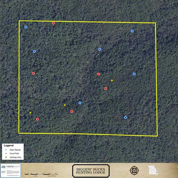
Hunting Lodge Map
If you own a hunting lodge, this map is for you! A high resolution aerial map showing custom features you choose. Get a SmartMap for your phone too!
Get a Free Quote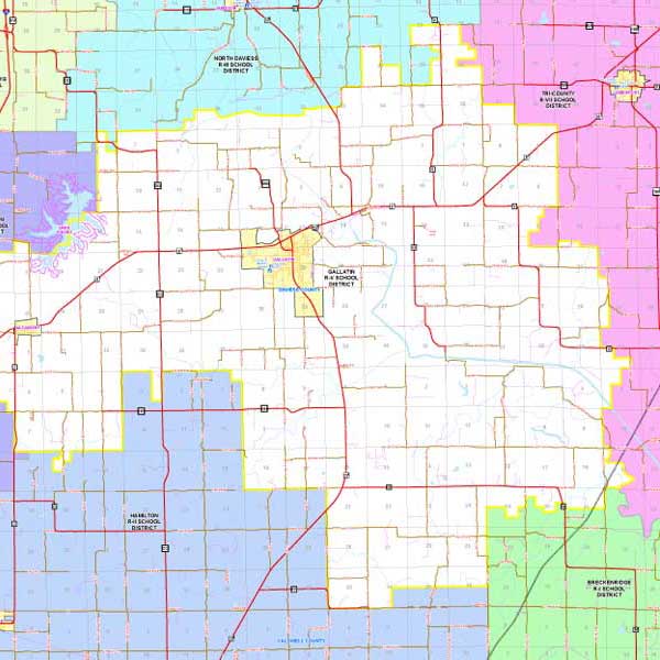
District Map
Mapping Solutions can create any type of district map: School Districts, Fire and Ambulance Districts, Voting Districts or other districts/areas you want identified.
Get a Free Quote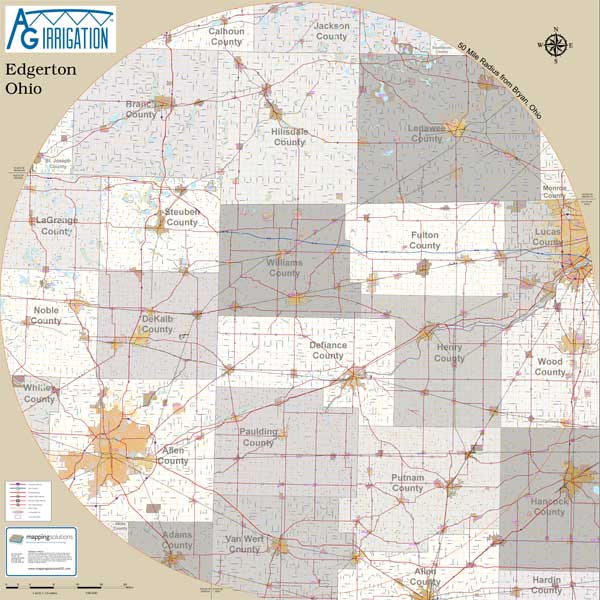
Radius Map
Tell us your location and we will create a radius map from that point. Great for viewing delivery areas, calculating delivery costs and other business needs.
Get a Free Quote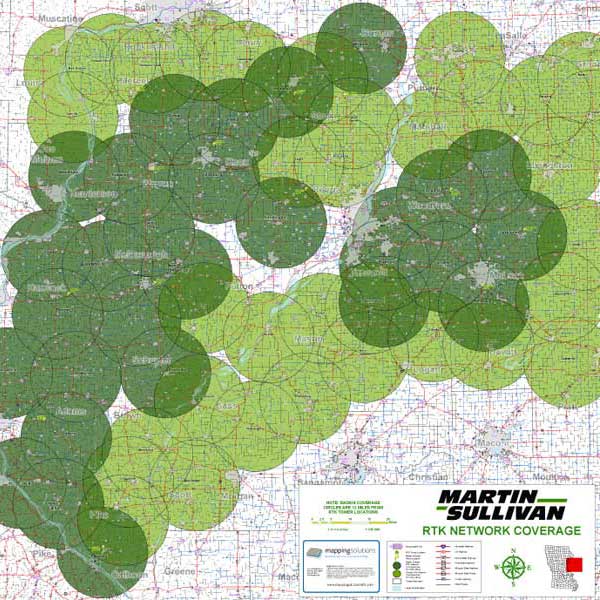
Coverage Area Map
Show multiple radiuses or other areas of coverage. Maps are custom built to your specifications, valuable for analyzing coverage data & other needs.
Get a Free Quote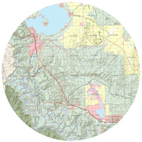
Topographical Map
Custom topographical map with other features you select. Enhanced LiDAR (3D effect on elevation) is now available in many areas.
Get a Free Quote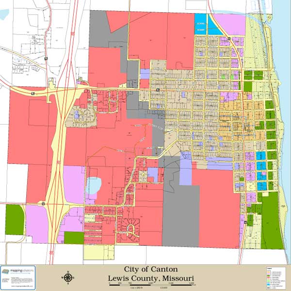
City Map
Most plat books we publish include city maps. These maps can be resized to fit your needs for a quick and easy reference. Other features may be added.
Get a Free Quote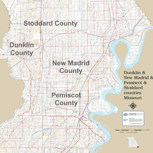
Multi-County Maps
Does your business operate in more than one county? Need a map of your service area or branch offices? These are typically large maps.
Get a Free Quote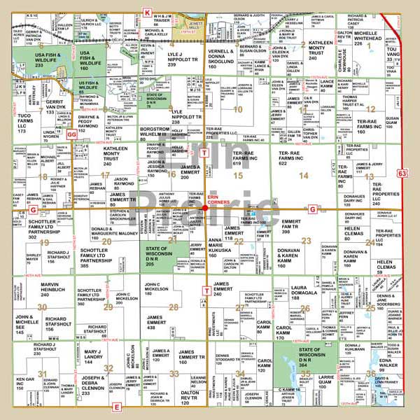
Township Maps
Need a larger view of a single township? These can be scaled to print at various size options, typically they are 36” x 36” or 36” x 42”.
Get a Free Quote
